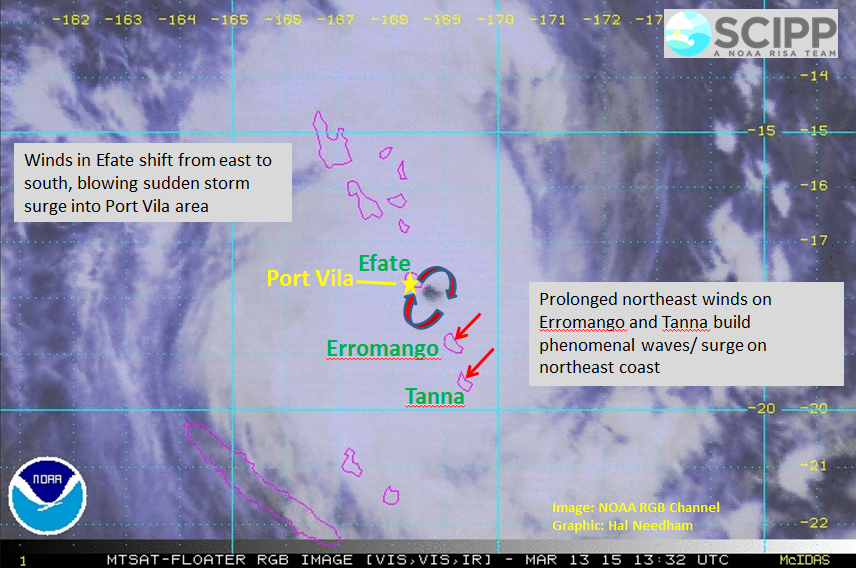
Severe Tropical Cyclone Pam is generating deadly waves and storm surge in Vanuatu. Pam tracked just east of Efate and Vanuatu's capital city, Port-Vila, as a large category-5 tropical cyclone. Although marine observations throughout Vanuatu are sparse, Pam is certainly generating massive waves and considerable storm surge during this horrific night.
Intense tropical cyclones generate localized storm surge and wave conditions along island chains. This graphic highlights some of the most vulnerable areas to storm surge.
Severe Tropical Cyclone Pam is generating phenomenal waves and large storm surge. This graphic highlights some of the most vulnerable areas. Image: NOAA RGB Channel, Graphic: Hal Needham
Winds on Efate should have shifted from east to south, blowing sudden storm surge and massive waves onto the southern coastline, including the Port-Vila area. It appears that Pam may have tracked far enough east to keep Port-Vila out of the eyewall, but still expect sudden surge rises on the south coast of Efate.
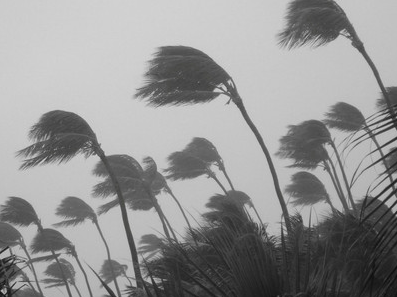
Winds on Efate shifted from east to south as Pam tracked close to the island. This wind shift increased surge levels on the southern coast of the Island. Image: www.siliconrepublic.com
Pam will next approach Erromango and Tanna, making landfall or passing just east of these islands. The wind setup on these islands is different, because they have experienced prolonged northeast winds for much of this storm. As Pam approaches these islands, winds from the northeast should increase dramatically, generating massive surges and waves along the northeast coasts. Expect "chaotic" seas on the back sides of these islands, as large waves approach from various directions.


No comments:
Post a Comment